Plant Ecology

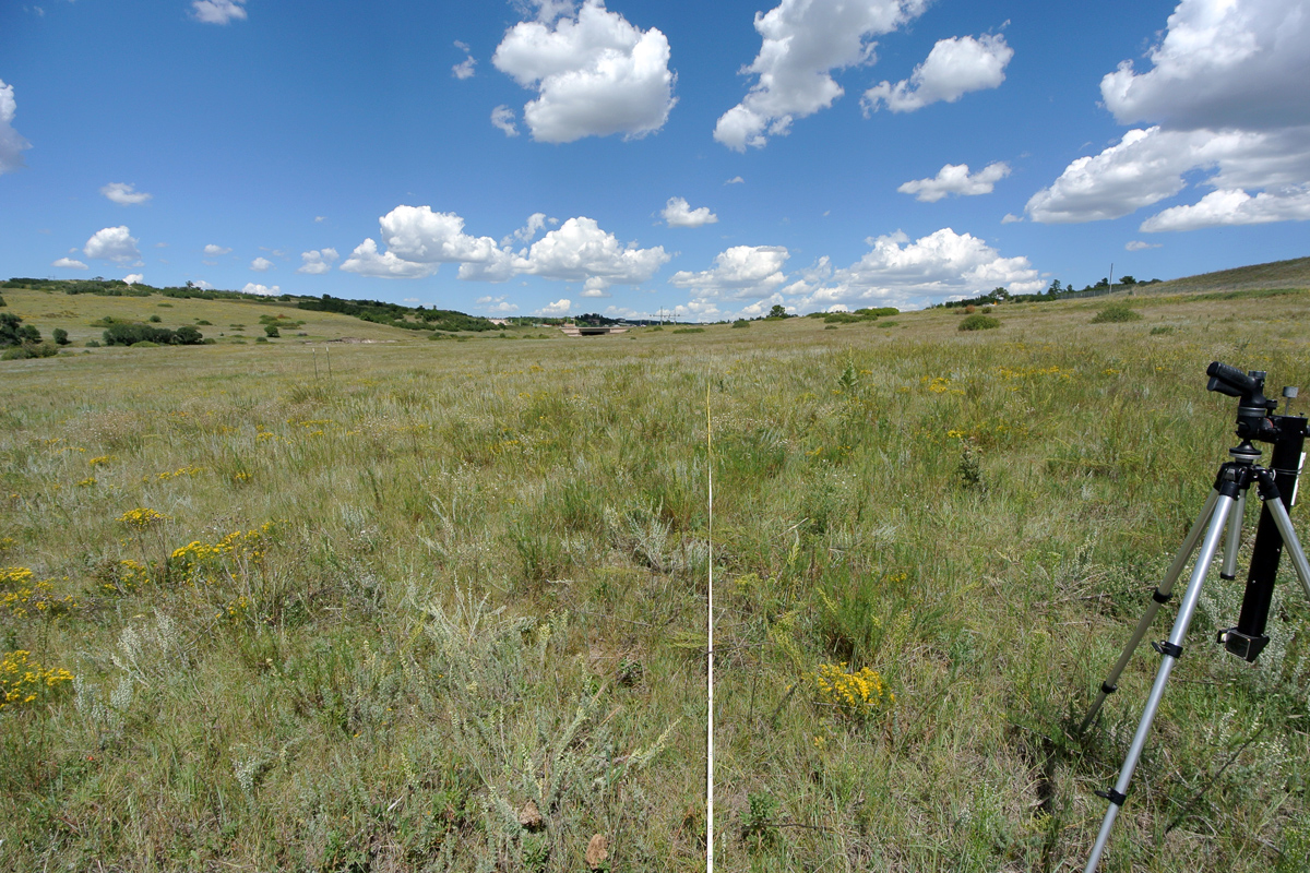
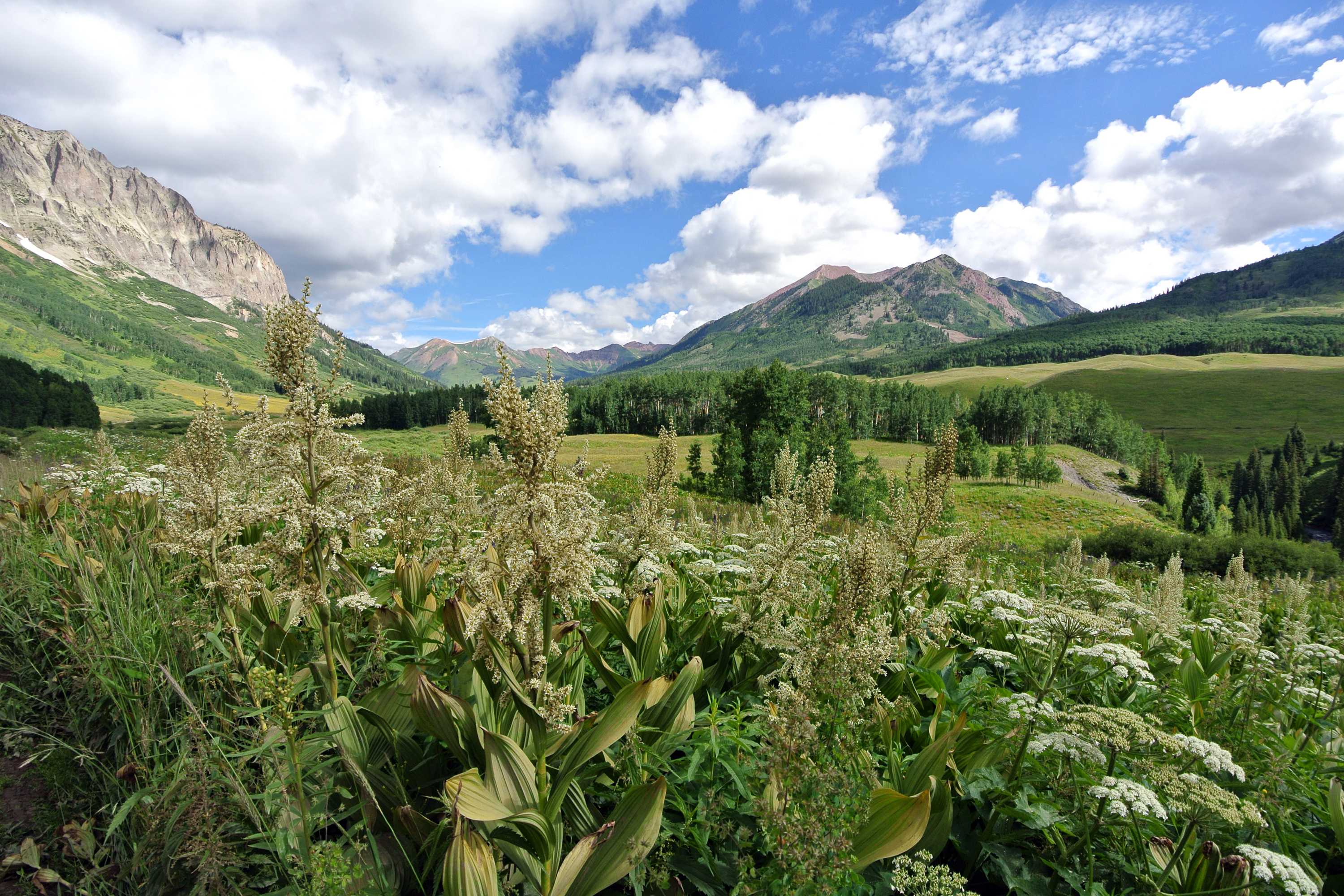
Ecological inventories of plant communities provide an important foundation for restoration planning, environmental impact assessment, and land management decisions ranging from wildfire mitigation to protection of sensitive habitats.  Our team includes experienced plant ecologists with the technical background to produce detailed botanical inventories for NEPA Compliance, baseline inventories, and for ecological restoration projects.

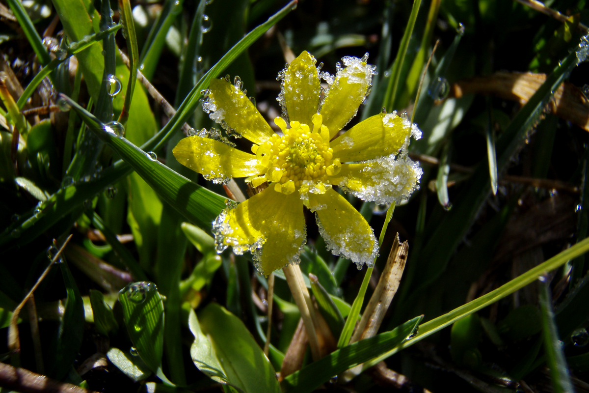
Plantain leaf buttercup (Ranunculus alismifolius) on a frosty morning in the San Juan Mountains of Colorado.

VEGETATION INVENTORIES AND MAPPING

Our ecologists have considerable experience mapping and describing plant communities for land exchanges, environmental impact assessments, baseline inventories, and development reviews.  We conduct detailed field inventories, then produce vegetation maps in GIS and AutoCAD to illustrate their distribution, quantify abundance, and evaluate project impacts.  Our botanical inventories are also used to characterize plant communities for ecological restoration, as a reference for designing seed mixes and planting plans, and for developing restoration success criteria.

Vegetation Mapping Project in Eagle County, Colorado.

BASELINE INVESTIGATIONS

Baseline investigations are used to establish the Conservation Values of a property and are typically required when establishing a Conservation Easement.  We have the expertise to conduct detailed inventories of the botanical and ecological resources of a project site to document the values that are being conveyed, including mapping of vegetation types, identification of rare plant habitats, wetland delineations, and evaluations of ecological condition.

Baseline vegetation inventory for a Preble’s Meadow Jumping Mouse Habitat Conservation Bank in El Paso County, Colorado.

QUANTITATIVE INVENTORIES AND ANALYSIS

We use both qualitative and quantitative methods to characterize plant communities.  For projects where quantitative data are required, we establish vegetation transects, then collect point-intercept data to calculate vegetation cover by species.  In addition, we collect data on species richness, and the number, distribution and survivorship of woody plants.

Collecting vegetation cover data along a transect through a sagebrush shrubland.

VEGETATION MONITORING

Vegetation monitoring is an integral part of successful ecological restoration projects and is an important tool for evaluating the results of land management decisions.  Careful monitoring allows our ecologists to identify and proactively address problems such as weed establishment, erosion, or damage from humans or animal use.  We use both qualitative and quantitative methods to document plant cover in restoration sites.  Establishing permanent vegetation monitoring transects allows us to precisely track year-to-year changes in plant communities. These data are used in annual monitoring reports to evaluate progress toward achievement of the ecological performance standards, or mitigation success criteria.

Vegetation monitoring transect in a Preble’s Meadow Jumping Mouse habitat conservation bank in El Paso County, Colorado.

WILDFIRE HAZARD ASSESSMENT

Development of the Wildland-Urban Interface (WUI) has increased the risk that homeowners will be affected by catastrophic wildfires. To mitigate this risk, many communities are incorporating wildfire hazard assessments into their development review process, and homeowners are educating themselves and taking action to reduce the risk on their own properties.  Our ecologists are experienced with wildfire hazard assessments and have prepared studies for several development reviews in Eagle County, Colorado.  Our studies are prepared in accordance with the methods contained in the National Fire Protection Association Standard for Protection of Life and Property from Wildfire.  We map and describe the vegetation types and characterize the height and density of woody plants, then use this data to create fuel potential maps based on the vegetation and topography.  The planned mitigation measures are then used to develop a final wildfire hazard rating map for the development review.  This information can be used to reduce wildfire risk to homeowners through effective project planning.

Fuel potential maps account for species composition as well as the height and density of trees and shrubs.