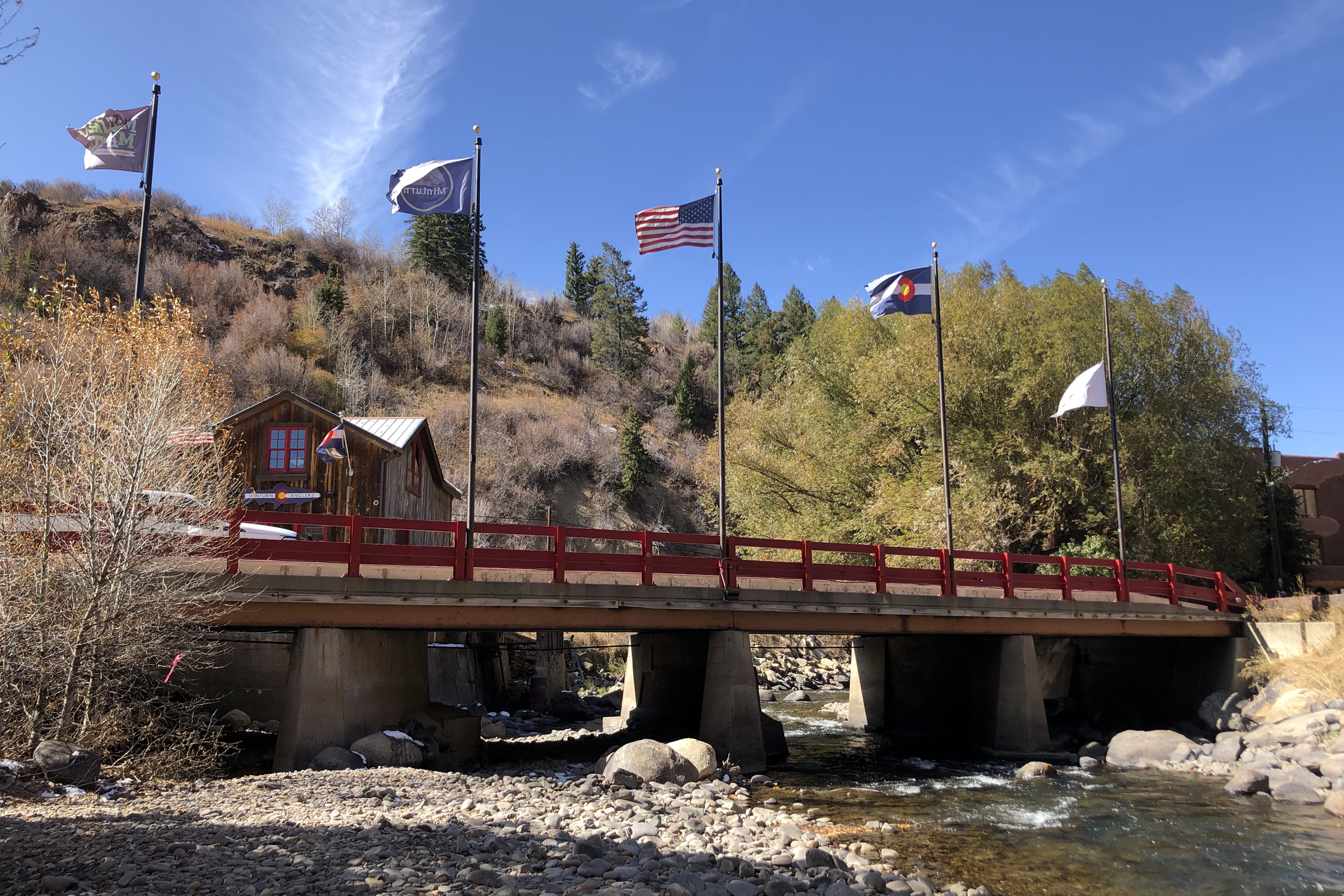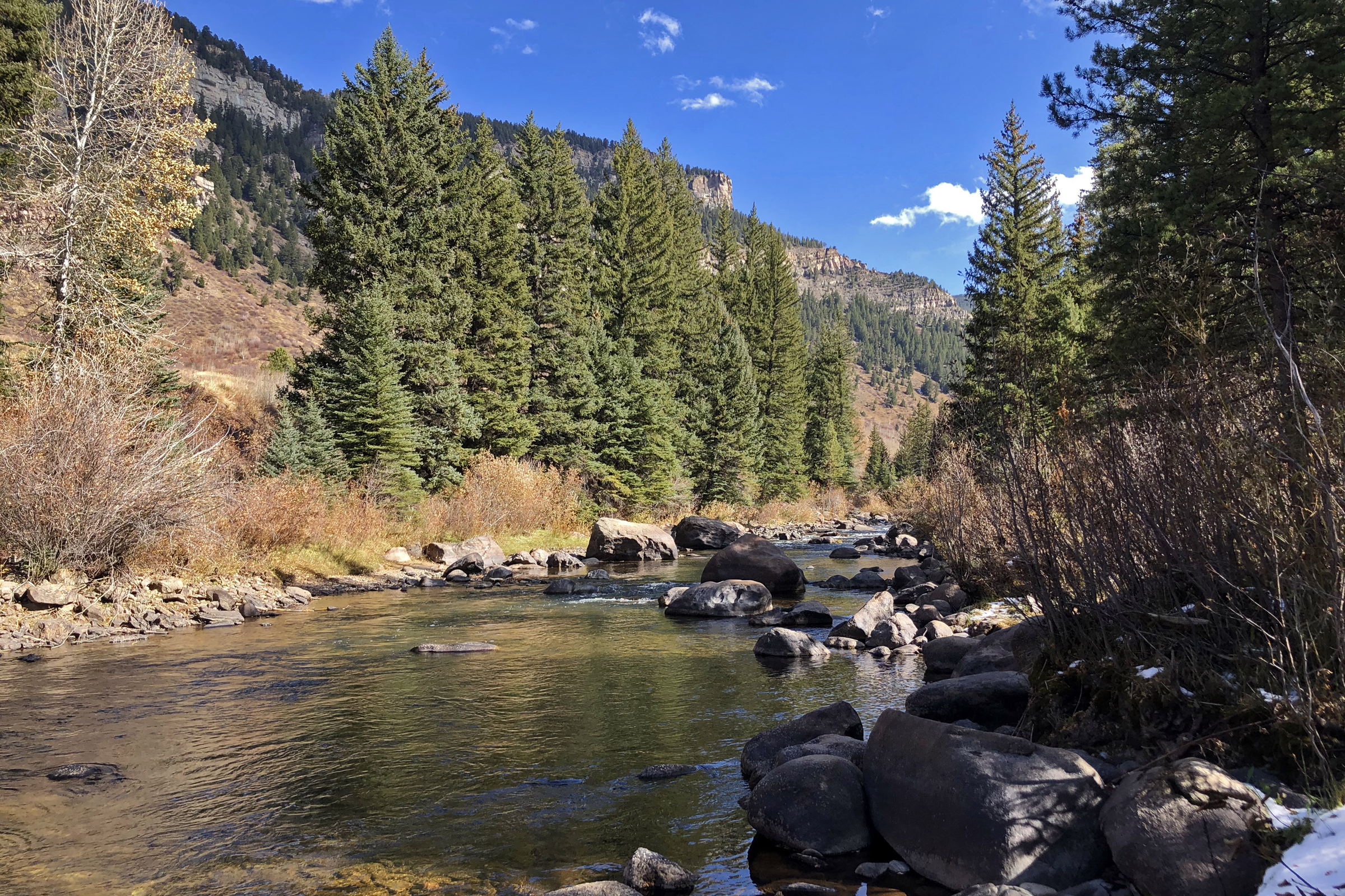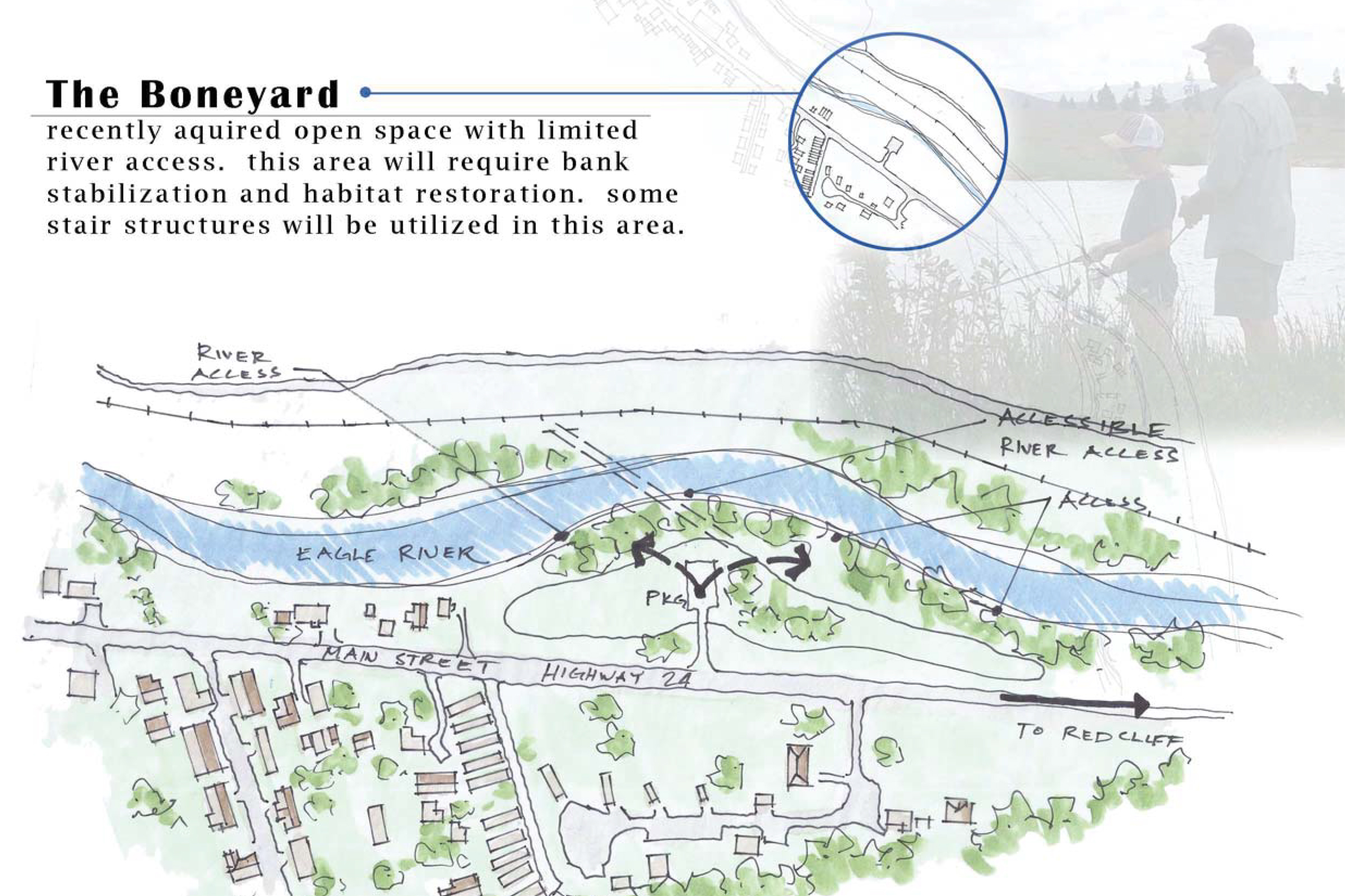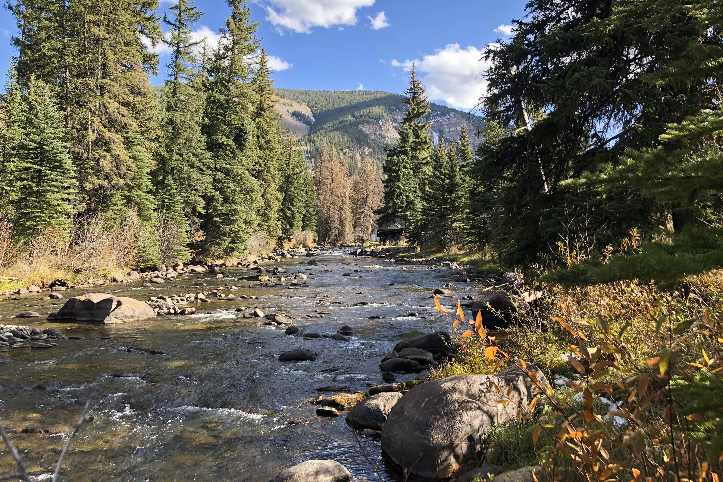
Fishing is Fun grants are awarded by Colorado Parks and Wildlife to assist towns with improving fishing opportunities and access. In 2018, the township of Minturn acquired a Fishing is Fun grant for the design and construction of six fishing access points along the Eagle River. The grant will fund improvements to previous fishing hotspots; the construction of new river access points with ADA fishing platforms; as well as bank stabilization and habitat restoration efforts along the Eagle River. The overall goal of the project is to connect the community and visitors of Minturn to the Eagle River with thoughtfully-located and designed access points that afford opportunities to fish and enjoy the river’s edge.
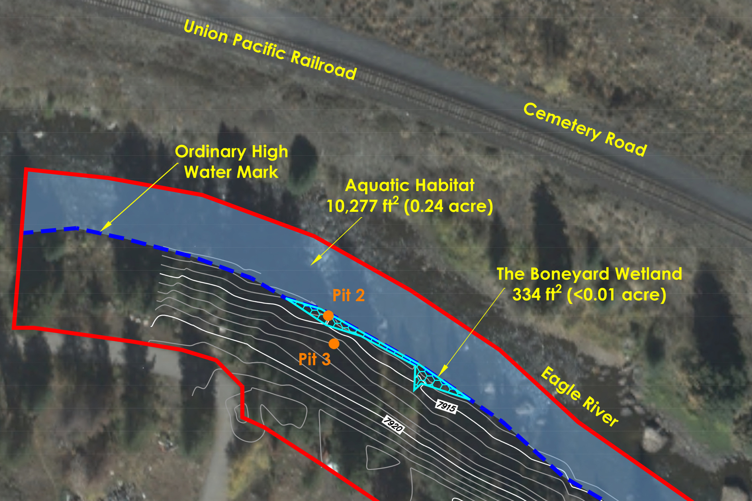
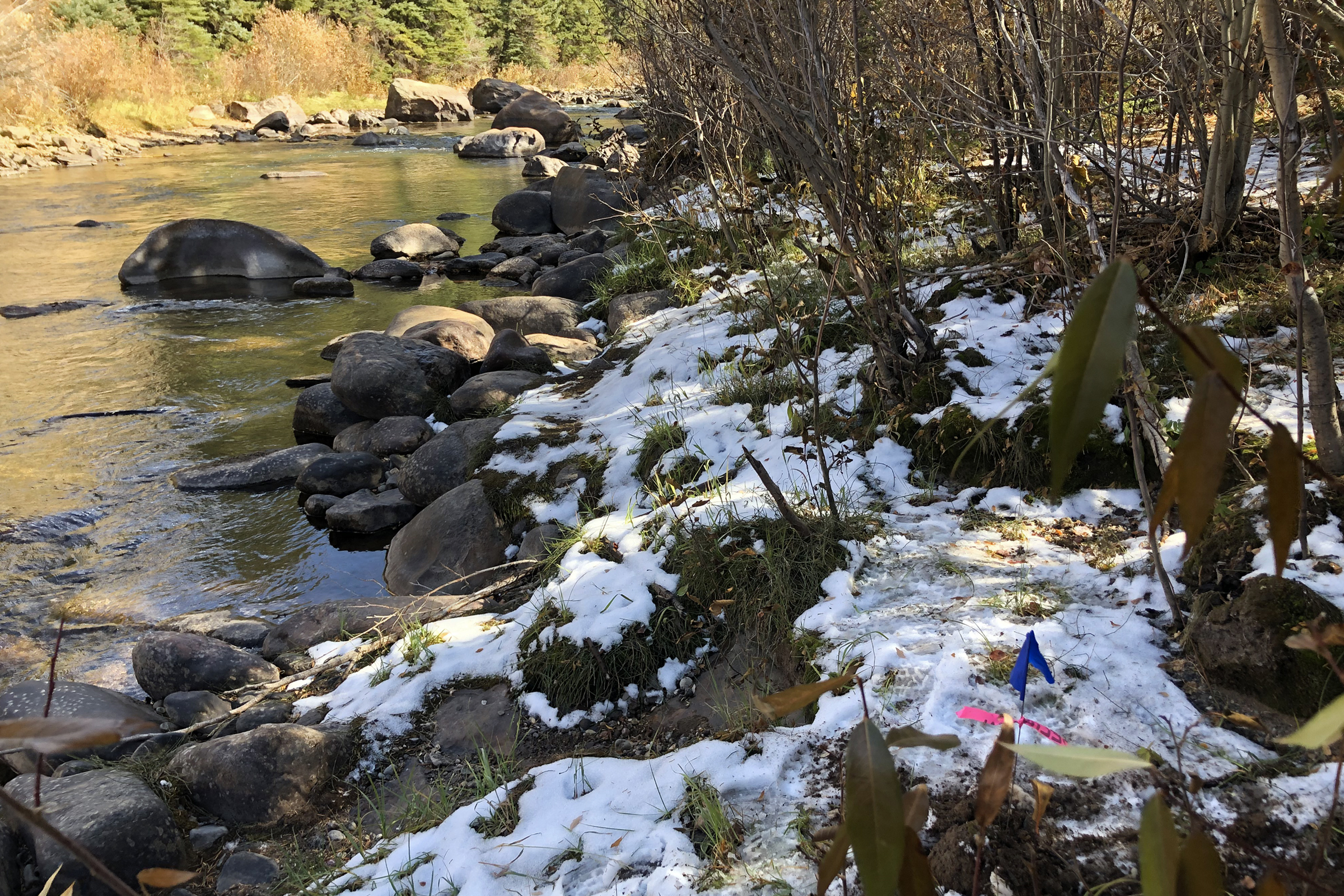
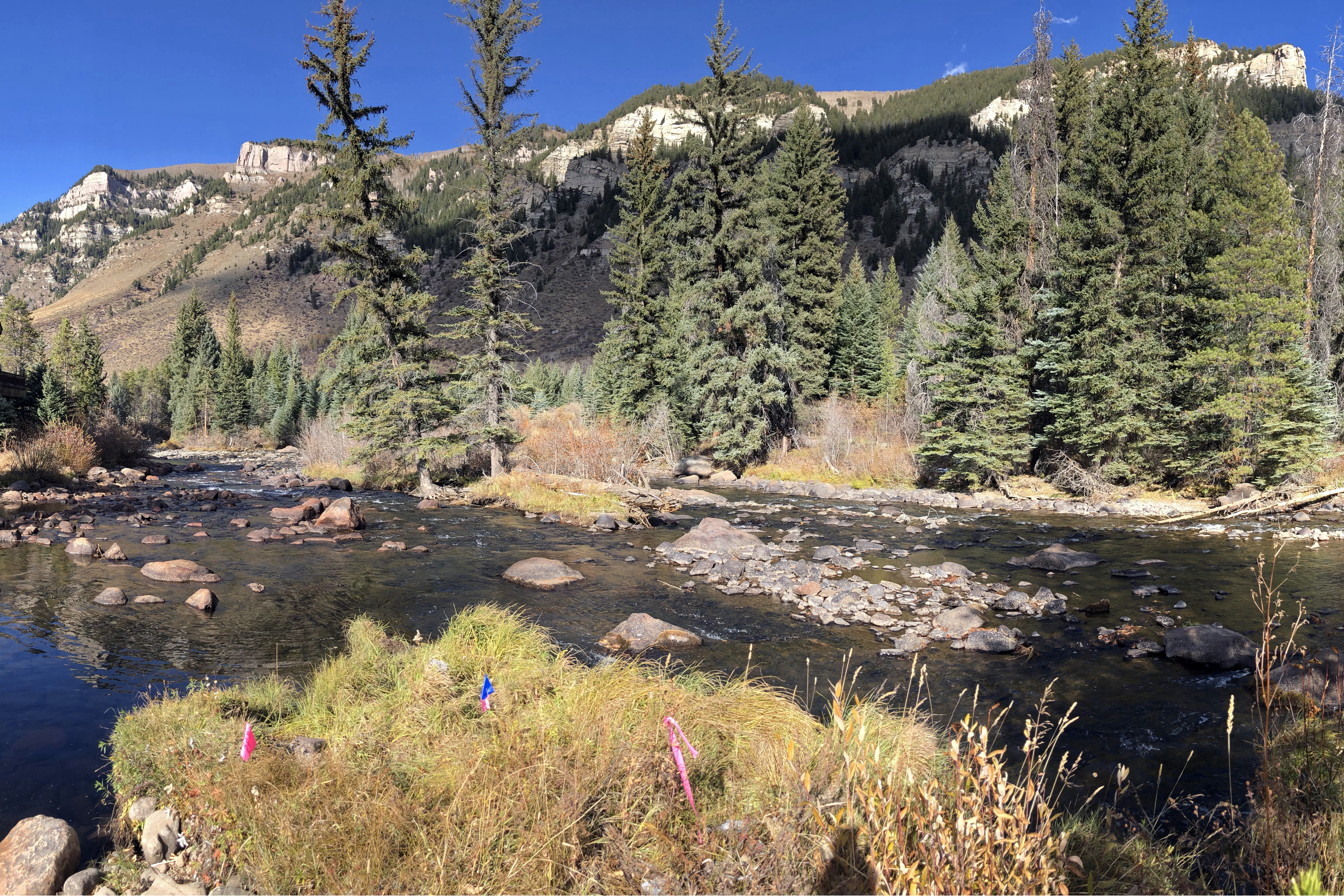
Birch Ecology was brought on to the project to delineate wetlands and provide wetland permitting analysis and guidance. We assisted GPS Designs in refining the design boundaries of each access point with consideration to the existing wetlands. In doing so, we ensured that each site would avoid wetland impacts and the wetland permitting process, saving costs for the Town. Several of the following images highlight “The Boneyard” – one of the six access points – to describe our collaborative process, from delineation to conceptual design. To read more on the Fishing is Fun project vision for Minturn, refer to this article posted by the Vail Daily. Birch Ecology enjoys opportunities to be involved in community-oriented projects and welcomes the chance to collaborate on other Fishing is Fun grants in Colorado.